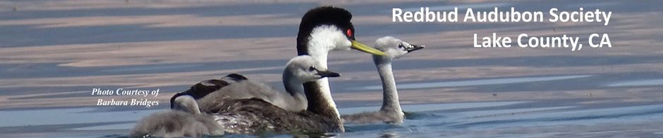
Heron Days 2016
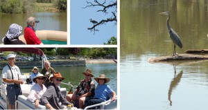

April 30 at Lakeside County Park, Lakeport
May 7 at Redbud Park, City of Clearlake
Driving Directions
Lakeside County Park, 1985 Park Drive, Lakeport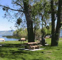
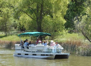
This 53-acre shoreline park features boat docks for the pontoon boat tours, a boat launch, tree-shaded picnic areas, lake swimming, children’s playground, sports field, and benches overlooking a quiet lagoon.
From South: Hwy 29 north to Lower Lake > at Lower Lake, Hwy 29 continues west > 17 mi. to Thomas Rd (Rainbow Ag) > north on Thomas Rd > Right on E Finley Rd > Left (north) on Calif Packing Rd > sign to park at Soda Bay Rd > continue straight on Park Rd to park.
From North: south on Hwy 29 from Lakeport > left (east) at intersection of Hwy 175 onto Soda Bay Rd > left (north) at Park Rd (signs to park at that intersection).
The GPS coordinates for Lakeside County Park are 122° 51′ 0.183″ W, 39° 1′ 33.3912″ N.
Redbud Park, 14655 Lakeshore Drive, City of Clearlake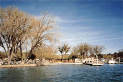
This 15-acre shoreline park at the south end of Clear Lake features boat docks for the pontoon boat tours, a boat launch, tree-shaded lawns, a picnic area with permanent tables and benches, and a gazebo.
From South: Hwy 29 north to Lower Lake > at Lower Lake continue north where the road becomes Hwy 53 > 3 miles > left on Lakeshore Drive > left on Golf Ave (Kour Thai) to park
From North: Hwy 20 to Hwy 53 > 4.5 miles > right on Lakeshore Drive > left on Golf Ave (Kour Thai) to park
The GPS coordinates for Redbud Park are 122 38’ 7.24” W, 38 56’ 56.34” N.