REDBUD AUDUBON FISHING LINE PROJECT RECYCLE BOX
LOCATION LIST
Clarks Island 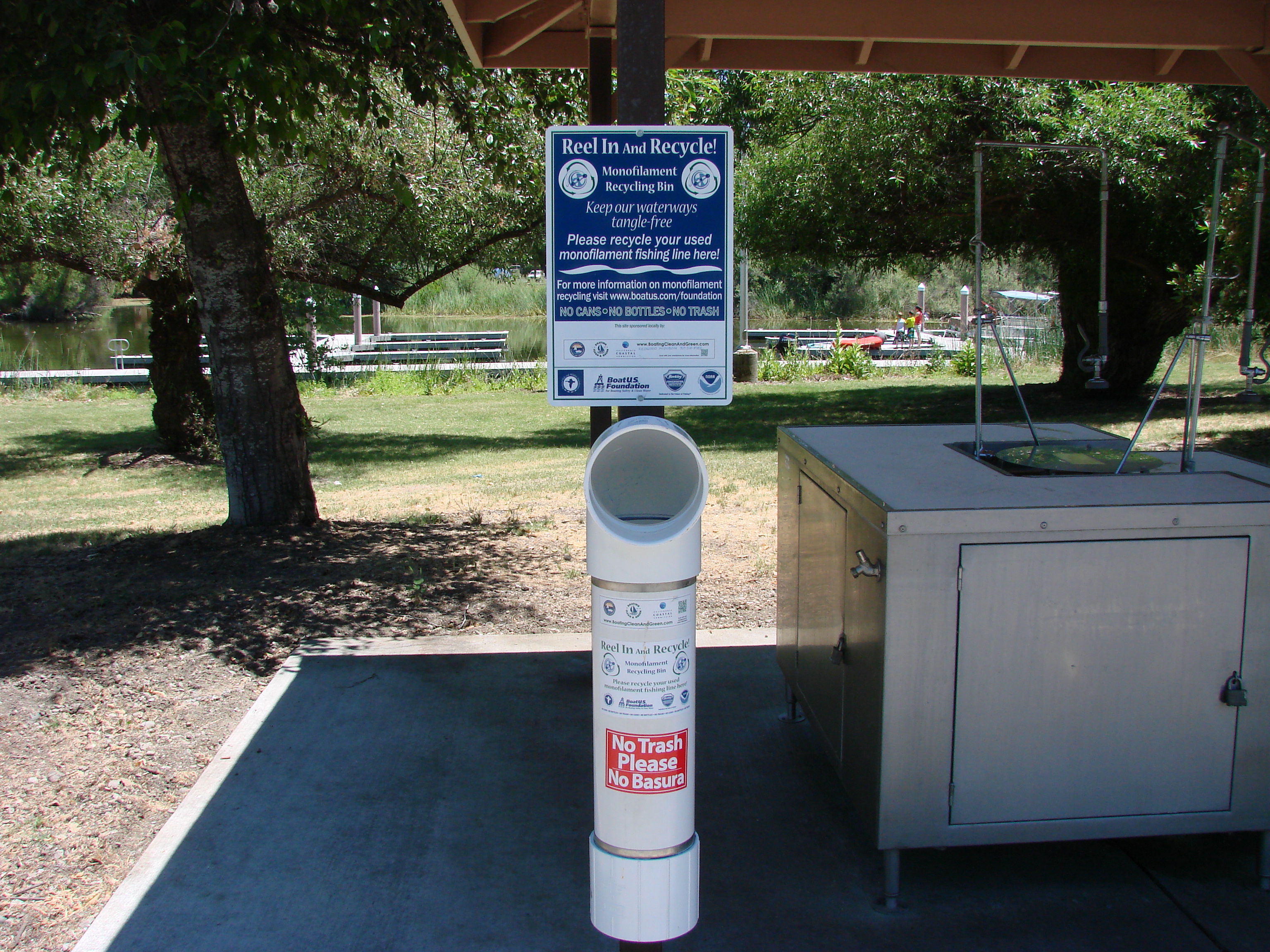
12565 E. CA-20, Clearlake Oaks, CA 95423
@ on the right at the end of the bridge. Location coordinates
39° 01’ 13.34” N, 122° 40’ 30.51” W
Clearlake Oaks Beach boat launch 12684 Island Drive, Clearlake Oaks, CA 95423
@ right side of ramp entrance.
Location coordinates
39° 01’ 10.18” N, 122° 40’ 26.71” W
Redbud Park Boat Ramp Area
14655 Lakeshore Drive, Clearlake, CA 95422
@ south corner of bathroom area across from boat ramp.
Location coordinates
38° 56’ 55.30” N, 122° 38’ 13.10” W
Redbud Park Fishing Pier Area
14655 Lakeshore Drive, Clearlake, CA 95422
@ fishing pier entrance
Location coordinates
38° 56’ 57.19” N, 122° 38’ 17.80” W
Highlands Park
14295 Lakeshore Drive, Clearlake, CA 95422
@ in front of fishing wall
Location coordinates
38° 57’ 12.50” N, 122° 38’ 43.18” W
Clear Lake Campground, 7805 Cache Creek Way, Clearlake, CA 95422
@ in front of boat ramp, across from store
Location coordinates
31° 55’ 31.91” N, 122° 36’ 59.19” W
Clear Lake Vista Resort
6190 Soda Bay Road, Kelseyville, CA 95453
@ on boat dock
Location coordinates
39° 00’ 09.55” N, 122° 47’ 51.46” W
Clearlake State Park #1
5300 Soda Bay Road, Kelseyville, CA 95451
@ fish cleaning station near the Boat ramp Location coordinates
39° 01’ 11.12” N, 122° 48’ 50.98” W
Clearlake State Park #2
5300 Soda Bay Road, Kelseyville, CA 95451
@ just across the road from Kelsey Creek Campground Host Sign.
Location coordinates
39° 01’ 10.01” N, 122° 48’ 40.93” W
Lakeside County Park
1985 Park Drive, Lakeport, CA 95453
@ small building just left of boat launch entrance. Location coordinates
39° 01’ 44.73” N, 122° 47’ 51.46” W
Konocti Vista Casino Boat Dock
2755 Mission Rancheria Road, Lakeport, CA 95453
@ small building on boat dock
Location coordinates
39° 01’ 09.55” N, 122° 53’ 17.41” W
Library Park #1
222 Park Street, Lakeport, CA 95453
@ right side of Third Street boat launch entrance Location coordinates
39° 02’ 37.79” N, 122° 54’ 48.49” W
Library Park #2
222 Park Street, Lakeport, CA 95453
@ left side of Fifth Street boat launch entrance Location coordinates
39° 02’ 43.28” N, 122° 54’ 48.12” W
Skylark Shores Resort
1122 N. Main Street, Lakeport, CA 95453
@ center of walkway in front of boat docks Location coordinates
39° 02’ 57.89” N, 122° 54’ 45.46” W
Rodman Slough
1005 Nice/Lucerne Cutoff Road. Nice, CA 95464
@ left side of boat launch entrance
Location coordinates
39° 07’ 05.84” N, 122° 53’ 12.70” W
Keeling Park
1000 Lakeshore Blvd. Nice, CA 95464
@ left side of boat launch entrance
Location coordinates
39° 07’ 17.45” N, 122° 51’ 19.21” W
Holiday Harbor Marina #1
3605 Lakeshore Blvd., Nice, CA 95464
@ Auto barrier post on west side of entry Channel.
Location coordinates
39° 07’ 16.34” N, 122° 50’ 35.64” W
Holiday Harbor Marina #2
3605 Lakeshore Blvd.,Nice, CA 95464
@ LightPole on East side of Entry Channel.
Location coordinates
39° 07’ 15.91” N, 122° 50’ 34.83” W
Lucerne Alpine County Park 5985 E. CA-20, Lucerne, CA 95458
NE corner of Gazebo on fishing Pier
Location coordinates
39° 05’ 36.31” N, 122° 48’ 01.05” W
Lucerne Harbor County Park 6225 E. CA-20, Lucerne, CA 95458
@ left side of long fishing pier entrance.
Location coordinates
39° 05’ 27.25” N, 122° 47’ 48.51” W
Indian Beach Resort
9945 CA-20, Clearlake Oaks, CA 95423
@ left support post of recycle area roof
Location coordinates
39° 01’ 24.38” N, 122° 43’ 24.77” W
Indian Beach Resort
9945 CA-20, Clearlake Oaks, CA 95423
@ lake end of main boat dock
Location coordinates
38.939° N, 122.723°
Kono Tahee Boat Launch
7877 Richard Drive, Lucerne, CA 95458
@ on post at entrance to dock
Location coordinates
39° N. 122.76°
Lucerne Harbor County Park
6225 E. CA-20, Lucerne, CA 95458
@ lake end of long fishing pier
Location coordinates
39°, N 122.797°
Highland Springs Recreation Area
3600 E. Highland Spring Road
Lakeport, CA 95453
@ left side of the road before the horseshoe pits
on right of the road
Location Coordinates
38.9° N 122.9